NASA's new mission: improving food security in West Africa
- 22/07/2016
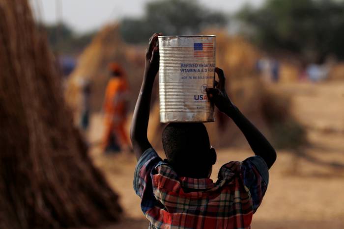
A boy carries water in a can that once held food aid at the Boudouri site for displaced persons outside the town of Diffa in southeastern Niger June 17, 2016. REUTERS/Luc Gnago

A drive by NASA to stream climate data to West African nations using its earth-observing satellites could boost crop production in a region hit hard by climate change, experts say.
NASA last week launched a hub in Niger's capital Niamey that will use space-based observations to improve food security and better manage natural disasters, said Dan Irwin, manager of the SERVIR project, named after the Spanish word meaning "to serve".
The project, which will cover Burkina Faso, Ghana, Senegal and Niger, is one of four regional hubs worldwide, funded by the National Aeronautics and Space Administration (NASA) and the U.S. Agency for International Development (USAID).
"The model is demand driven," said Irwin, who describes SERVIR's vision as "connecting space to village". NASA performed a study in the region two years ago and found that governments either did not have good data, or were not using it, he added.
The Sahel is one of the most vulnerable regions in the world to climate change, where rising temperatures and increasingly erratic rainfall are wreaking havoc on farmers, disrupting food production, and fuelling widespread hunger and malnutrition.
"The whole livelihood along the Sahel depends on a few main crops, namely millet and sorghum," U.N. World Food Programme analyst Matthieu Tockert told the Thomson Reuters Foundation.
"These crops are highly dependent on rainfall, so any data that allows for proper forecasts is key," Tockert said.
Farmers in Senegal say that traditional methods of predicting the weather are no longer reliable. A programme launched last month by the country's aviation and meteorology agency aims to solve the problem by sending texts to farmers.
"There is an immediate need to connect available science and technology to development solutions in West Africa," said Alex Deprez, director of USAID's West Africa regional office.
In East Africa, SERVIR scientists have since 2008 built a system to track water in streams and rivers and predict when and where droughts or floods will occur, and created maps that show which land is the most fertile, and which areas risk erosion.
SERVIR could adopt similar programmes in West Africa, but the first step will be to identify the region's most pressing needs, with a priority on improving food security, Irwin said.
Video
From camel to cup
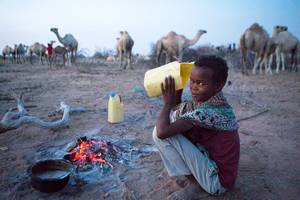
From Camel to Cup' explores the importance of camels and camel milk in drought ridden regions, and the under-reported medicinal and vital health benefits of camel milk
Blogs
As climate risks rise, insurance needed to protect development
Less than 5 percent of disaster losses are covered by insurance in poorer countries, versus 50 percent in rich nations
Disasters happen to real people – and it's complicated
Age, gender, ethnicity, sexual orientation and many more factors must be considered if people are to become resilient to climate extremes
NGOs are shaking up climate services in Africa. Should we be worried?
A concern is around the long-term viability of hard-fought development gains
The paradox of water development in Kenya's drylands
In Kenya's Wajir county, the emphasis on water development is happening at the expense of good water governance
Latest Photos


Tweets
© 2018 | Terms of Use
We welcome comments that advance the story through relevant opinion, anecdotes, links and data. If you see a comment that you believe is irrelevant or inappropriate, you can flag it to our editors by using the report abuse links. Views expressed in the comments do not represent those of Braced or its partners.